
01
SLAM survey
We walk the site with the FJD Trion P2. The LIDAR captures the full volumetry of the space and the X5 camera records 360° video that colorizes the point cloud in real time.
Digital Twins
Each contour, at its elevation. Move your cursor over the plan: each contour rises to its elevation.
High-precision LIDAR surveying and BIM modeling of property lines, buildings, heritage, plazas and streets. A service independent from our architectural design.
The proposal
We offer high-precision 3D LIDAR surveys to digitally record what's built: property lines, buildings, architectural heritage, plazas and streets. With a mobile SLAM scanner we capture the real geometry on site and turn it into a colored point cloud and a navigable BIM model. The result is a digital twin —measurable and documented— ready for renovation, demolition, quantity takeoff, BIM coordination or heritage documentation.
Architects, engineering firms, contractors, developers and owners who need a reliable metric base before intervening, demolishing or quantifying.
Our process
Four stages, from on-site capture to delivery of the model with the required information.
We walk the site with the FJD Trion P2. The LIDAR captures the full volumetry of the space and the X5 camera records 360° video that colorizes the point cloud in real time.
In the office we merge and register the captured clouds, qualify and clean the points until we have a single, refined and metrically precise cloud.
We bring the cloud into ReCap → Revit, or directly into ArchiCAD, and model the existing buildings level by level with their relevant information.
We export the model in IFC, RVT or PLN with the required information, ready for intervention by firms, engineers or designers.
Completed work
Five digital twins across different regions of Chile, from industrial warehouses to property lines and heritage.
01 / 05
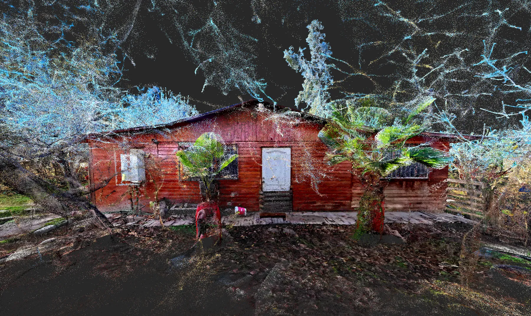
Our most recent survey. SLAM capture of property lines and existing buildings for demolition and quantity takeoff. High-density colored point cloud as a base for intervention and design; 3D modeling is in progress.
02 / 05
Industrial warehouse survey. Colored point cloud and BIM modeling of existing systems: fire-protection, electrical and gas networks, with level-by-level drawings.
03 / 05
Warehousing center survey. Point cloud, photographic record and BIM model of the facilities.
04 / 05
Industrial plant survey. Point cloud and BIM model in ArchiCAD 25.
05 / 05
Survey of existing facilities. Registered point cloud and drawings (plans and elevations) of the site.
Contact
We coordinate a site visit and deliver the point cloud and BIM model in whatever format you need.